


Pas de Peyrol/ Puy de Peyre Arse/ Puy Mary

geoffrayLayeux
User
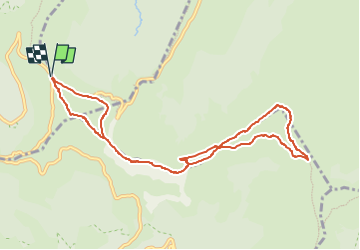

Length
10.2 km

Max alt
1781 m

Uphill gradient
622 m
Km-Effort
18.5 km

Min alt
1528 m

Downhill gradient
622 m
Boucle
Yes
Creation date :
2025-02-18 21:37:02.582
Updated on :
2025-02-18 21:39:22.444
4h12
Difficulty : Difficult

FREE GPS app for hiking
 SityTrail
IGN / Geographical institutes
SityTrail Plus
The world is yours!
About
Trail Walking of 10.2 km to be discovered at Auvergne-Rhône-Alpes, Cantal, Le Claux. This trail is proposed by geoffrayLayeux.
Positioning
Country:
France
Region :
Auvergne-Rhône-Alpes
Department/Province :
Cantal
Municipality :
Le Claux
Location:
Unknown
Start:(Dec)
Start:(UTM)
474180 ; 4995676 (31T) N.
Comments